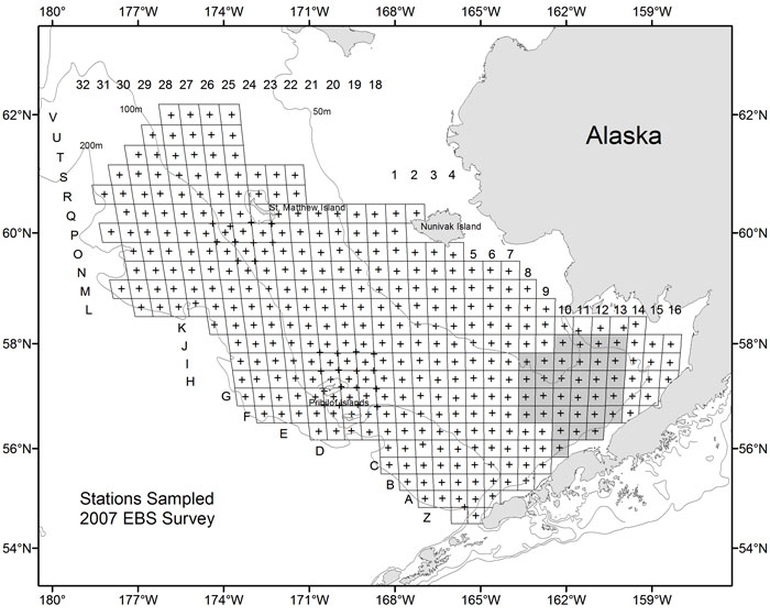
Figure 14. Stations sampled (+) by grid during the annual eastern Bering Sea bottom trawl survey during 2007. Shading in sampled areas indicates resampled stations.
|
Figure 14. Stations sampled (+) by grid during the annual eastern Bering Sea bottom trawl survey during 2007. Shading in sampled areas indicates resampled stations. |